The Latest in Digital Landscape Architecture 2018 – Conference Report

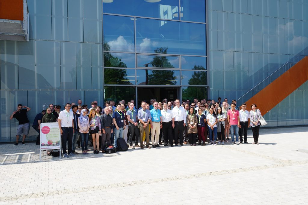
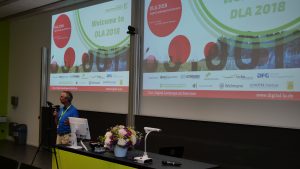
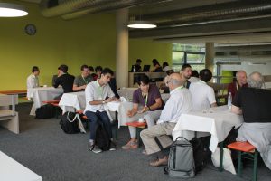
Knowledge transfer at a very high scientific level: the Digital Landscape Architecture Conference 2018 at Weihenstephan-Triesdorf (HSWT) hosted 130 participants from 22 countries from May 30th to June 2nd discussing the latest research and applications of information technology in landscape architecture. At the same time, the conference honored 30 years of landscape informatics through Prof. Dr. Ulrich Kias.

The conference started with a geodesign workshop run by Harvard professor Carl Steinitz and his colleague Olaf Schroth at HSWT, since 2017 professor of geodesign and landscape informatics at HSWT. In the workshop, six stakeholder groups developed and negotiated different scenarios for the area between Olympic Park and city´s edge in the north of Munich. The workshop was facilitated through the open online platform geodesignhub.
Other international scientists and practitioners, who gave key notes, were Prof. Joan Nassauer,  University of Michigan, Prof. Kelleann Foster, Pennsylvania State University, Prof. Stephan Sheppard, University of British Columbia and Mike Shilton of the Landscape Institute in England. The public talk by Dr. Jörg Rekittke, addressing the “Challenges and approaches of landscape research and design in the global south”, was also highly appreciated by the audience.

In addition to key notes, the various lecture sessions addressed the themes geodesign and climate change, big data in landscape architecture, Building Information Models (BIM), drones/UAVs for data survey, social media and VR/AR. Various speakers demonstrated the latest developments and applications in practice examples such as the use of high resolution laserscanning data and digital terrain models, the use of environmental sensors and VR/AR displays.

If you are now interested, the next DLA conference will take place in Dessau in 2019 and celebrate the 20th anniversary of the conference series and in 2020, the well-established Harvard Graduate Design School will host the 21st DLA. For more information please see the conference website at dla.hswt.de.

Papers and key notes can be downloaded at: gis.point

GISRUK 2017

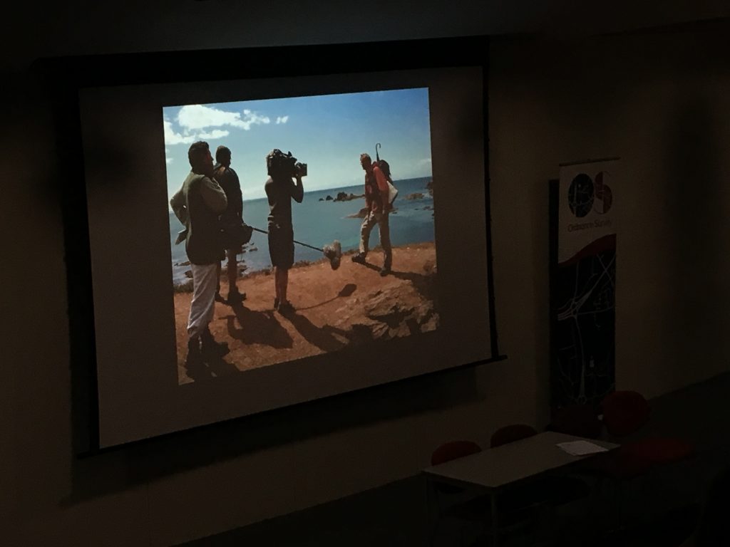
This was my first time at one of the UK’s most important GIS conferences, GISRUK, and I was very impressed by the high level of the contributions. For landscape science, the ecology session was particularly interesting, e.g. Gullick et. al.’s (2017) presentation about tree risk evaluation.  Other relevant sessions on remote sensing, VGI and visualisation. Between sessions, Prof. Andy Hudson-Smith from the Bartlett Centre for Advanced Spatial Analysis CASA and at the end of the conference, BBC2 presenter Nick Crane gave intriguing key notes.

Some of Nick Crane’s work can be explored as @ESRI #Storymap “The Making of the British Landscape


PECSRL 2016 Permanent European Conference on the Study of the Rural Landscape

Last week, the Permanent European Conference on the Study of the Rural Landscape PECSRL conference 2016 took place in Innsbruck and Seefeld (Austria). It was my first time at PECSRL and I was impressed how well organised it was. It was also a very productive time because it had merged with the autumn meeting of a COST Action network I´m in. And last not least, I liked the basic PECSRL idea to host the first two days in an urban environment, then go on a field trip, and host the last two days out in the countryside.

The presentations stood out through their great variety but most topics were not directly related to the theme of this blog. Except the presentation by Salak, Boris & Brandenburg, Christiane: Mixed method design as a supportive tool for evaluation of interactive 3D approaches to enhance objectification in wind energy planning processes in Session 5: Renewable energies in mountain landscapes: conflicts and synergies.

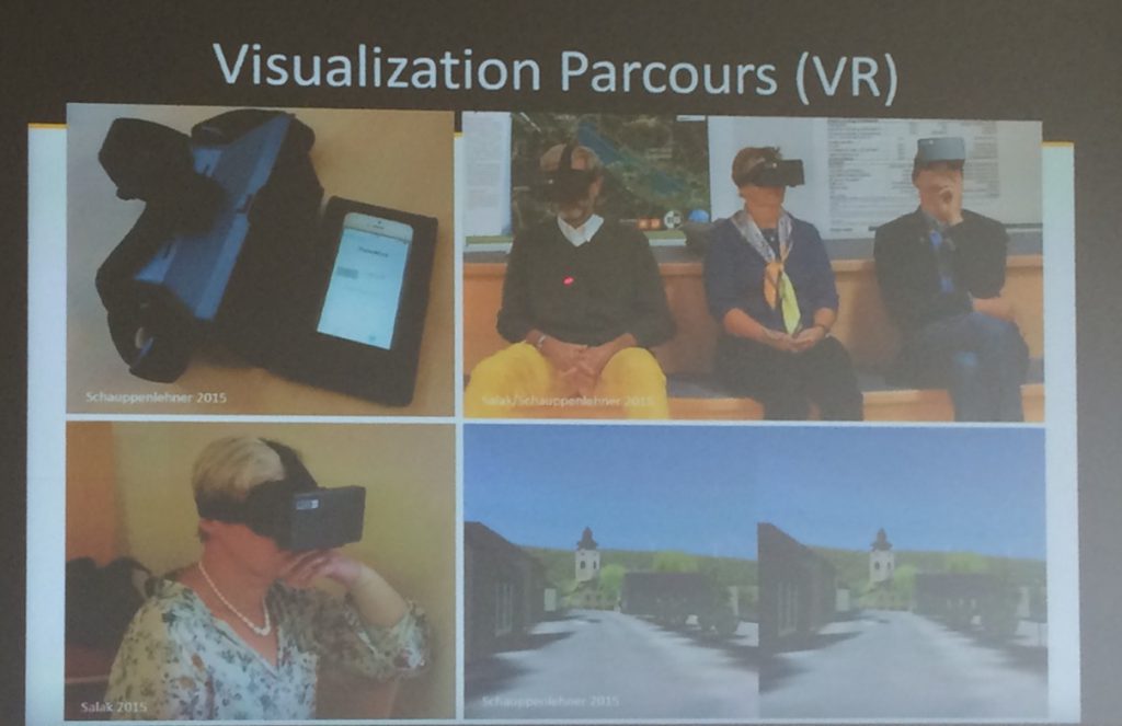
As part of the Windnet project, the authors and their colleagues organised expert workshops, survey and interviews with 27 wind energy relevant organisations. One part of the project addressed the use of visualizations in the workshops and the research question was: Is there a difference between the following three different visualisation techniques?

  • Slideshow (low immersion)
  • Interactive 3D model in game engine using a PS3 controller
  • Virtual Reality w/ stereo images, running on a mobile phone
Salak 2016
Salak 2016


70 participants completed the visualization parcour and in summary gave the following feedback:

  • Very positive feedback regarding the visualizations across all groups
  • participants trust in the information 3D
  • participants navigate very oriented in digital spaces
  • participants visit emotional landscapes first in 3d
  • participants check plausibility
  • mention transparency
  • technical tools supports personal imagination
  • good technical equipment

The full report can be read at http://www.ssoar.info/ssoar/handle/document/47895 and further information is provided at www.transwind.boku.ac.at

Digital Landscape Architecture Conference 2015

With quite some delay, a short recap of this year’s Digital Landscape Architecture Conference DLA 2015. After the brilliant DLA 2014 conference abroad, this year’s conference took place in its home town of Dessau again (before it will move to Istanbul for 2016).

DLA 2015 Group Picture

The first key note was delivered by Prof. Brian Orland from PennState and at the time, visiting Weddle Chair at the University of Sheffield: “Geodesign – The Family Car of GIS“. The main argument was that geodesign is still a black box but stakeholders need to participate in telling the story. As key stones Brian suggested the following three elements and illustrated them with the example of hydraulic fracturing:
– Storytelling
– System Exploration
– Group Interactions

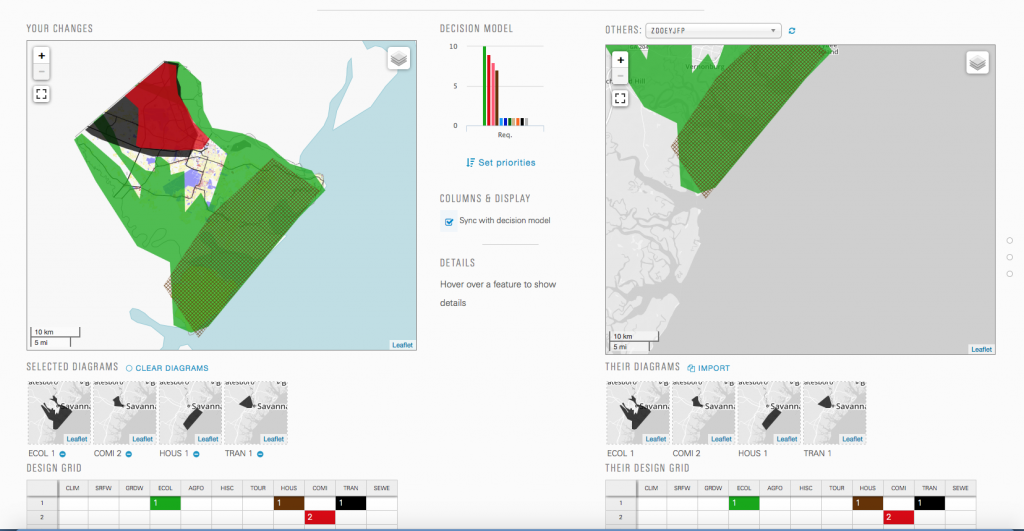
Another highlight of the conference were the presentation by Prof. Carl Steinitz and colleagues of the “Coastal Georgia 2050 Geodesign Synthesis Workshop” and the hands-on workshop “Digital Workflow for a Dynamic Geodsign System” delivered by Hrishikesh Ballel, PhD student of Prof. Carl Steinitz. The tool can be tested under http://www.geodesignstudy.com/

Geodesign Tool

Prof. Stephen Ervin further pushed forward the theoretical framework of Geodesign: “A Proposed Map of a Geodesign Research Map.”

For these and further presentations and workshops at the DLA2015 Conference, please see the peer-reviewed conference proceedings published by Wichmann:
Peer-reviewed conference proceedings DLA2015

Call for Papers: CORP 2013 Rome

PLANNING TIMES

You better keep planning or you get in deep water,
for the cities they are a-changin' …

The REAL CORP Call for Papers is open until 23 December 2012. We accept papers in two categories:

  • Reviewed Papers: scientific papers which undergo a two-step peer review (up to 10 pages);
  • Non-Reviewed Papers: practical experience reports, project reports: decision on acceptance is made by programme committee (up to 5 pages).

The reviewing procedure is an important tool in enhancing the paper quality and therefore the expert output in general of the REAL CORP conference. Papers will not only be evaluated on scientific quality but also with focus on pratical relevance and “visionary approaches”. The group of reviewing experts comprises of researchers, practitioners and business experts. There is also the opportunity to register papers for non-reviewed participation. In this case, members of the organising REAL CORP team will decide on paper acceptance.

Detailed Information for authors


Topics of REAL CORP 2013

Click here for a detailed overview on all major topics and sub topics of REAL CORP 2013.


How to submit your abstract

Abstract submission may only be done electronically. Please download our template before you compose your abstract:

To upload your abstract to our server, please sign up for a user account on our conference administration portal MY.CORP. The abstract should not exceed 1 page in the given template and need not contain any graphics.


Deadline…

Of course, there is a deadline for abstract submission to make sure that both reviewers and programme committee have enough time so decide carefully on acceptance of each abstract.

Please submit your abstract by 23 December 2012, 23:59 CET. For submission you are intended to use MY.CORP only.

Further important deadlines on the way to having your paper published


Beyond Climate Models: Rethinking How To Envision the Future with Climate Change

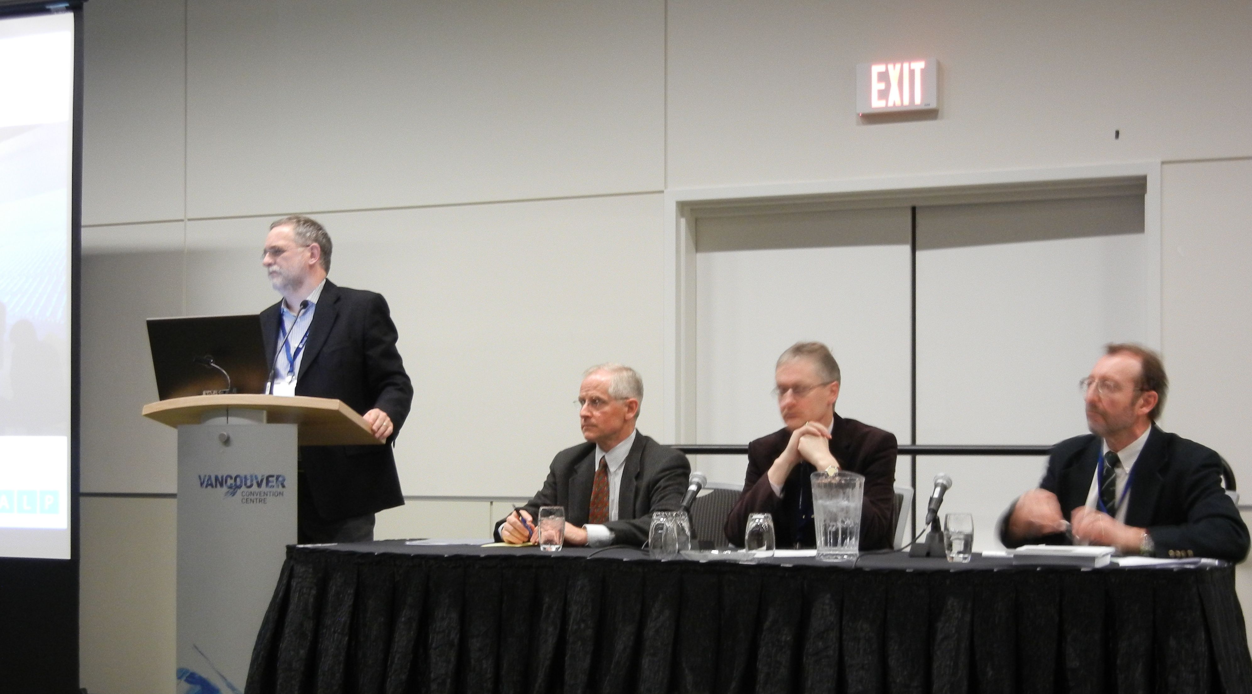
On February 17th 2012, the symposium "Beyond Climate Models: Rethinking How to Envision the Future with Climate Change" took place at the Vancouver Convention Centre as part of the Annual Meeting of the American Association for the Advancement of Science (AAAS). Guest speakers Mike Hulme from the University of East Anglia, Richard Moss, IPCC author on the IPCC scenarios, Stephen Sheppard and facilitator John Robinson from the University of British Columbia discussed the role of landscape visualization tools and processes to support climate policy and action.

After the speakers' presentations, participants discussed specific aspects such as the role of visualization in scientific collaboration, in combination with the scenario method, and the use of virtual globes and decision theatres. The evolving research questions were collected and will inform future research in the area. 

REAL CORP 2012

May 14-16 2012, Multiversum Schwechat, Austria

17th international conference on Urban Planning, Regional Development and Information Society
“RE-MIXING THE CITY” – Towards Sustainability and Resilience?

An overview of Accepted Papers/Presentations is available at http://www.corp.at/Download/CORP2012/REALCORP2012_programmedraft.pdf

Until March 10 the detailed program will be available at www.corp.at, early bird registration is available until March 15.


Google Earth Outreach launches new tools for NGOs in Canada

Google Earth Outreach launched a program to support Canadian NGOs with software tools and support in a three-day workshop with the Tides Foundation in Vancouver, September 25-28, 2011. The workshop ended with a public event at the Woodwards featuring presentations by Rebecca Moore from Google Earth Outreach and David Suzuki.

Google Earth Outreach Launch Canada (Tides 2011)

The workshop aimed at capacity-building for NGOs and included sessions on Google Fusion Tables, Google mapping API, GIS to Google Earth basics, Advanced KML coding and and the Open Data Kit, a set of tools for mobile data collection. The Google Earth Outreach team also provided some first insights into the new Google Earth Builder, an online GIS for geodata management with tiling capabilities, and Google Earth Engine, a future environmental monitoring platform that adds more complex analytical functions such as GHG calculations.

More than 50 representatives from various NGOs participated and I was very impressed by their projects they presented after just three days: A complete Google Earth inventory of the Mountain Pine Beetle damage in British-Columbia, the  cinematic fly-through of a crane in GoogleEarth illustrating bird migration routes, and many more. Therefore, I am confident that the workshop achieved its first goal which was capacity-building among NGOs. The workshop site also provides many valuable tutorials on Google’s geospatial tools and is open to everybody.

Plant Modeling at Siggraph 2011

Presenting my own poster “Model-based Visualization of Future Forest Landscapes” on the use of Biosphere3D in the Kimberley project at CALP, I got in touch with other researchers in the field. LIAMA, the Sino-French Lab of Computer Science, Automation and Applied Mathematics in Bejing, presented a poster on GreenLab. GreenLab is a program for the stochastic, functional and interactive modeling of plant growth that also considers different growth conditions. According to Prof. Kang, the development of GreenLab goes back to AMAP and Philippe de Reffye, one of the AMAP developers, who is also guest researcher at LIAMA and contributed to the development of GreenLab. The libraries of GreenLab will also contain more Asian species which are still rare in 3D. With its potential for functional modeling, Greenlab may become another promising plant modeler.

Later in the day, I visited the Speedtree booth. Speedtree clearly aims at Game Developers and Movie Makers; therefore it does not need to integrate botanical rules but it has to provide artistic control and “directability”. Furthermore, performance and different LODs are important for game developers and in gaming, SpeeTree is the current state-of-the-art. For landscape architects, it may be over the top with the basic version of SpeedTree Studio selling for $850 while the professional version, including a world construction set, can cost more than $12k.

Siggraph 2011 – Day 3

One of todays` highlights at SIGGRAPH 2011 in Vancouver was the approach of Prof. Deussen`s group in Konstanz and their partners at the universities in Shenzhen and Tel Aviv to use so-called “texture-lobes” for tree modelling from Lidar data. For more information, see http://graphics.uni-konstanz.de/publikationen/2011/texturelobesfortreemodeling/website/

Texture-Lobes for Tree Modelling from Soeren Pirk on Vimeo.

The afternoon was dedicated to urban modeling, starting with a review of the latest literature by Peter Wonka (Arizona State University) and Daniel Aliaga (Purdue University). During the second part of the session, Pascal Mueller from Procedural/ESRI (CityEngine) presented issues encountered in practice and their new Urban Vision project together with the urban planning department of San Francisco and Urban Sim (Paul Waddell). The session closed with a visually very engaging case study by Michael Frederickson from Pixar, using CityEngine for virtual London in Cars 2.