Vancouver becomes the third city of Autodesk’s Digital Cities Initiative

The more regular readers of this blog might remember the article on the last URISA symposium. It seems that the conference has been the origin of a closer collaboration between the City of Vancouver and Autodesk, who now announced Vancouver to be the third city of the Autodesk Digital Cities Initiative (click here for the official press release).

The first two partners of the initiative have been Salzburg, Austria and Incheon, Korea. With Vancouver, Autodesk has chosen the first pilot city in Northern America and it seems to be a win-win situation to me:

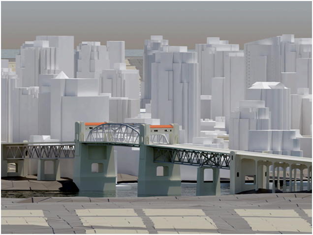
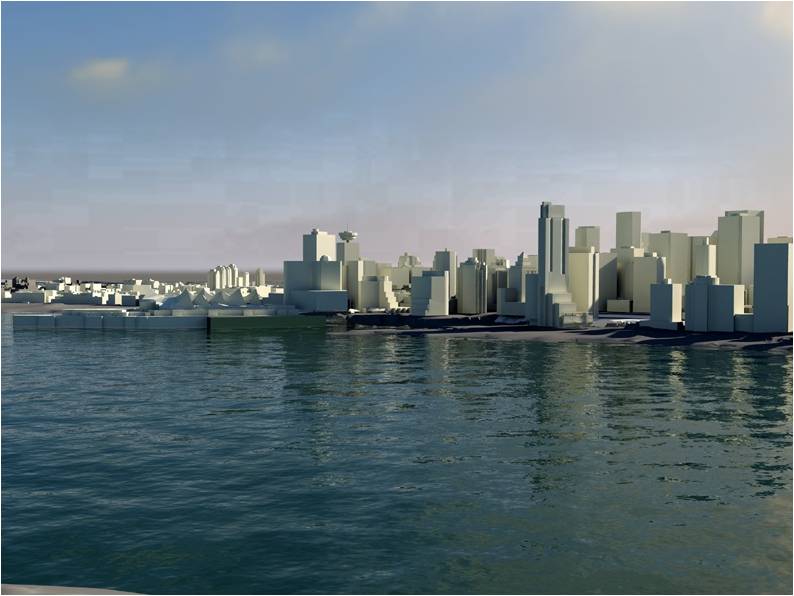
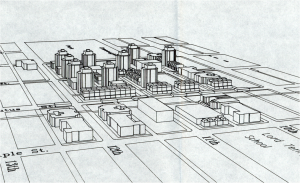
As you can see in the first image, which dates back to 1980, Vancouver has always been at the forefront of using 3d city models in planning and its planners are “early adopters”, open to innovative digital technology. Today, a lot of 2d and 3d data is available and stored in an Oracle spatial database. The only tool missing was an open platform to bring the different standards from CAD to BIM and GIS together and here, Autodesk’s new CityGML-based products fit very well.

For Autodesk, Vancouver is an interesting use case because the city has a high growth rate (2000-2005: 5.6 %) and a lot of development has taken place over the last years. Despite the current economic crisis, Vancouver is undergoing another boost and will gain additional international attention because of the Winter Olympics 2010.

The high growth rate and the demands of the Olympic Game impose a lot of urgent issues to the planning department. According to city planner Dan Campbell’s presentation at the URISA conference, the planning department is looking for new ways to complement the use of its 3d city model for visualization by additional analyses:

According to Dan Campbell, the partnership with Autodesk’s Digital Cities Initiative has the potential to facilitate public participation in planning and to enable sustainable design. An “intelligent” and also attractive 3d city model can make it easier for people to understand planning issues and can capture visual and emotional aspects better than traditional tools.

Images: Dan Campbell: City of Vancouver 3D, Presentation at the URISA symposium “The new dimension in gis – 3D analysis” January 22, 2009, Burnaby.
Doug Eberhard (Autodesk) promoting CityGML

Last week, I had the chance to see Doug Eberhard, Senior Director of Autocad and head of the Digital Cities Initiative, speaking at the conference “The new dimension in GIS – 3D Analysis“, hosted by the British Columbia section of URISA. His focus were 3D city models and he promoted their future not only for visualization but also for analysis. According to him, the process and people behind need to catch up with the technology, i.e., processes and methods are needed for a collaborative workflow. All these issues are explored in the Digital Cities case studies with Seoul and Salzburg being the first two.

Interestingly, Mr. Eberhard showed lots of examples from LandXplorer (though without mentioning the name of the product) and gave a lot of credits “to the Germans”. Furthermore, he highlighted that CityGML and its interface ADE allow to incorporate extensions for analyses and that has huge potential from his point of view.

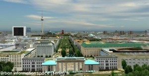
LandXplorer screenshort of Berlin (source: http://www.3dgeo.de)

Apparently, Autocad is promoting LandXplorer and CityGML now, which I find very encouraging. You can download an abstract of Mr. Eberhard’s talk at http://www.urisabc.org/assets/events/2009/3D/bios_abstracts/digitalcities.htm and if you like to see another presentation by Doug Eberhard, he will be at AGIT (Salzburg) as well as Geoweb (Vancouver).

Autodesk buys 3D Geo (LandXplorer)

In August Autodesk already published a press release, announcing that they buy the German company 3D Geo, a spin-off of the Hasso-Plattner Institute in Potsdam that became well-known for their LandXplorer software. LandXplorer is basically an authoring system for 3D geodata that allows to construct, analyze, store and manage 3D city models for various export formats (GeoBrowser, VirtualReality, GameEngines, WebApplications). Among other features, LandXplorer is one of the first software packages to support CityGML. The full text is available at http://www.3dgeo.de/news.aspx?Article=143

Autodesk said that they will keep the office in Potsdam as future development center in Europe and that they will further develop LandXplorer. This might even open a chance that LandXplorer will become a meta-platform to link single Building Information Models on a larger scale, i.e., as part of a semantic 3D city model.