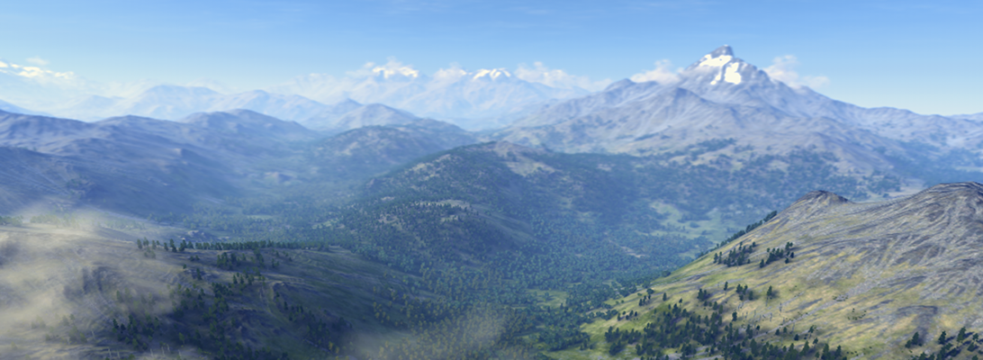
The mission of this blog is to inform about current conferences, up-to-date software and new approaches to data-based 3D landscape visualization, geovisualization, and geodesign. Recent special themes were virtual globes such as Google Earth and Biosphere3D and the link between modeling and visualization. The blog attempts to go beyond the technology and look at the social interactions created through the application of landscape visualization tools in planning and policy processes.
Target groups are academics and practitioners who engage in the spatial visualization of landscape and landscape processes. The LVIZ blog is interdisciplinary and its blogroll links to related blogs in urban design and planning, mapping, remote sensing, urban modeling, and geovisualization. Overarching theme is the application of 3D modeling and visualization tools in a spatial context.
