Microsoft Photosynth is a photogrammetric software that creates 3d buildings from multiple photos, e.g. shot by random tourists. Our colleagues from the urbandigital blog are very much in favour of Photosynth and see great potential in it for urban visualization or as a kind of 3d scanner. Now, Microsoft has taken the logic next step and integrated Photosynth with Bing 3D. It may be criticized that the Microsoft approach requires Silverlight which is still not standard. However, Bing users can now create buildings automatically from photos whereas Google Earth users are modeling their content in Sketchup. It will be very interesting to test both approaches in comparison and to see which one will finally find more users.
Another interesting approach by Microsoft is mentioned by Chris Dannen in the Fast Company blog: In the long-term, Microsoft wants to extract semantic information automatically from the user-generated photos. In this point, Microsoft meets latest research in photogrammetry, e.g. in the “Nachwuchsgruppe der Volkswagen Stiftung” in cartography at the University of Hanover, where the automatic extraction of facades from photos is researched.
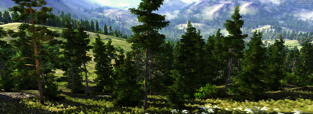
With regard to landscapes, vegetation is still not an issue – neither for Google nor for Microsoft. How about the automatic extraction of vegetation information from photos? There is a lot research about the recognition of vegetation in orthophotos – how about linking this to the automatic population of virtual landscapes with realistic plants?
Silverlight share is growing, cf. http://www.riastats.com/#