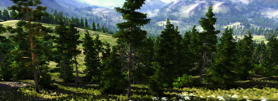
Procedural has joined ESRI’s Business Partner Program. Automatic creation and cloud-based visualization of photorealistic 3D cities from ArcGIS data with CityEngine and RealityServer. Presented on a Tegra Tablet at ESRI User Conference 2010 in San Diego.
3d city models
Bing Maps incorporates Photosynth models and is aiming at semantics in the long-term
Microsoft Photosynth is a photogrammetric software that creates 3d buildings from multiple photos, e.g. shot by random tourists. Our colleagues from the urbandigital blog are very much in favour of Photosynth and see great potential in it for urban visualization or as a kind of 3d scanner. Now, Microsoft has taken the logic next step and integrated Photosynth with Bing 3D. It may be criticized that the Microsoft approach requires Silverlight which is still not standard. However, Bing users can now create buildings automatically from photos whereas Google Earth users are modeling their content in Sketchup. It will be very interesting to test both approaches in comparison and to see which one will finally find more users.
Another interesting approach by Microsoft is mentioned by Chris Dannen in the Fast Company blog: In the long-term, Microsoft wants to extract semantic information automatically from the user-generated photos. In this point, Microsoft meets latest research in photogrammetry, e.g. in the “Nachwuchsgruppe der Volkswagen Stiftung” in cartography at the University of Hanover, where the automatic extraction of facades from photos is researched.
With regard to landscapes, vegetation is still not an issue – neither for Google nor for Microsoft. How about the automatic extraction of vegetation information from photos? There is a lot research about the recognition of vegetation in orthophotos – how about linking this to the automatic population of virtual landscapes with realistic plants?
C3 – The Third Dimension
C3 is a company from Norrköping, Sweden, and subsidiary of the aviation and military technology company Saab, with some very impressive demos of photorealistic 3d city models. Like some other companies, they use (oblique) photos as the base technology for the fully automatic production of the city model. Although C3’s technology uses photos only and no LiDAR data, they capture tree canopy as well. According to their website, Stockholm, Copenhagen and Oslo are already realized in 3d.
3D city database for CityGML released
Virtual 3D city models are getting more complex, detailed, and increasingly large. Therefore, good solutions for the storage and the management of 3D city models are needed. Within this context we want to inform you that there is now a 3D database schema for the storage and management of CityGML-based 3D city models freely available, which can be implemented on top of Oracle 10G/11G. It also works with the Express version of both databases, which is free for use for educational and research purposes. The following is a rough translation of the German press release.
Press release, 27th April 2009.
The departement for Geodesy and Geoinformation Science, Berlin Institute of Technology, German has realesed free software tools for the management and storage of CityGML-based virtual 3D city models. The tools include a 3D database schema for the use with Oracle 10G R2 or 11G, an Importer/Exporter, and a Java class library for facilitating the work with CityGML. The package is released under the Lesser GNU Public License v3 and can be downloaded under the following URL: www.igg.tu-berlin.de/software. An English documentation is also available.
The CityGML-based 3D database was developed during the creation of the official 3D city model of Berlin and is successfully used for the storage and management of the city-wide virtual 3D city model. More information about the city model of Berlin as well as a Google Earth enabled version can be found under: www.virtual-berlin.de.
Vancouver becomes the third city of Autodesk’s Digital Cities Initiative
The more regular readers of this blog might remember the article on the last URISA symposium. It seems that the conference has been the origin of a closer collaboration between the City of Vancouver and Autodesk, who now announced Vancouver to be the third city of the Autodesk Digital Cities Initiative (click here for the official press release).
The first two partners of the initiative have been Salzburg, Austria and Incheon, Korea. With Vancouver, Autodesk has chosen the first pilot city in Northern America and it seems to be a win-win situation to me:
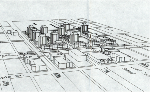
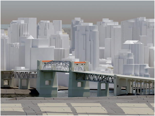
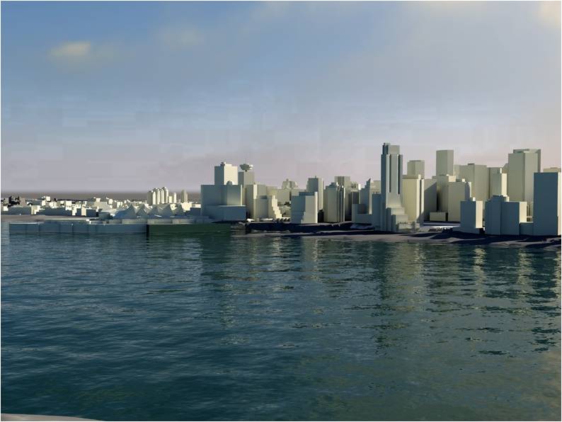
As you can see in the first image, which dates back to 1980, Vancouver has always been at the forefront of using 3d city models in planning and its planners are “early adopters”, open to innovative digital technology. Today, a lot of 2d and 3d data is available and stored in an Oracle spatial database. The only tool missing was an open platform to bring the different standards from CAD to BIM and GIS together and here, Autodesk’s new CityGML-based products fit very well.
For Autodesk, Vancouver is an interesting use case because the city has a high growth rate (2000-2005: 5.6 %) and a lot of development has taken place over the last years. Despite the current economic crisis, Vancouver is undergoing another boost and will gain additional international attention because of the Winter Olympics 2010.
The high growth rate and the demands of the Olympic Game impose a lot of urgent issues to the planning department. According to city planner Dan Campbell’s presentation at the URISA conference, the planning department is looking for new ways to complement the use of its 3d city model for visualization by additional analyses:
According to Dan Campbell, the partnership with Autodesk’s Digital Cities Initiative has the potential to facilitate public participation in planning and to enable sustainable design. An “intelligent” and also attractive 3d city model can make it easier for people to understand planning issues and can capture visual and emotional aspects better than traditional tools.
Images: Dan Campbell: City of Vancouver 3D, Presentation at the URISA symposium “The new dimension in gis – 3D analysis” January 22, 2009, Burnaby.
Doug Eberhard (Autodesk) promoting CityGML
Last week, I had the chance to see Doug Eberhard, Senior Director of Autocad and head of the Digital Cities Initiative, speaking at the conference “The new dimension in GIS – 3D Analysis“, hosted by the British Columbia section of URISA. His focus were 3D city models and he promoted their future not only for visualization but also for analysis. According to him, the process and people behind need to catch up with the technology, i.e., processes and methods are needed for a collaborative workflow. All these issues are explored in the Digital Cities case studies with Seoul and Salzburg being the first two.
Interestingly, Mr. Eberhard showed lots of examples from LandXplorer (though without mentioning the name of the product) and gave a lot of credits “to the Germans”. Furthermore, he highlighted that CityGML and its interface ADE allow to incorporate extensions for analyses and that has huge potential from his point of view.
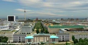
LandXplorer screenshort of Berlin (source: http://www.3dgeo.de)
Apparently, Autocad is promoting LandXplorer and CityGML now, which I find very encouraging. You can download an abstract of Mr. Eberhard’s talk at http://www.urisabc.org/assets/events/2009/3D/bios_abstracts/digitalcities.htm and if you like to see another presentation by Doug Eberhard, he will be at AGIT (Salzburg) as well as Geoweb (Vancouver).
Autodesk buys 3D Geo (LandXplorer)
In August Autodesk already published a press release, announcing that they buy the German company 3D Geo, a spin-off of the Hasso-Plattner Institute in Potsdam that became well-known for their LandXplorer software. LandXplorer is basically an authoring system for 3D geodata that allows to construct, analyze, store and manage 3D city models for various export formats (GeoBrowser, VirtualReality, GameEngines, WebApplications). Among other features, LandXplorer is one of the first software packages to support CityGML. The full text is available at http://www.3dgeo.de/news.aspx?Article=143
Autodesk said that they will keep the office in Potsdam as future development center in Europe and that they will further develop LandXplorer. This might even open a chance that LandXplorer will become a meta-platform to link single Building Information Models on a larger scale, i.e., as part of a semantic 3D city model.
