A workmate has drawn my attention to a new tool for constructing 3d city models: CityScape 1.6 by PixelActive. Although I had no time to try the demo yet, it seems to me that the included models fit best for cities in Norther America. The supported file formats include elevation data and Collada, which makes it interesting for city planners, too. Another interesting feature is the real-time animation. However, my guess is that it is most useful for game designers.
commercial
Doug Eberhard (Autodesk) promoting CityGML
Last week, I had the chance to see Doug Eberhard, Senior Director of Autocad and head of the Digital Cities Initiative, speaking at the conference “The new dimension in GIS – 3D Analysis“, hosted by the British Columbia section of URISA. His focus were 3D city models and he promoted their future not only for visualization but also for analysis. According to him, the process and people behind need to catch up with the technology, i.e., processes and methods are needed for a collaborative workflow. All these issues are explored in the Digital Cities case studies with Seoul and Salzburg being the first two.
Interestingly, Mr. Eberhard showed lots of examples from LandXplorer (though without mentioning the name of the product) and gave a lot of credits “to the Germans”. Furthermore, he highlighted that CityGML and its interface ADE allow to incorporate extensions for analyses and that has huge potential from his point of view.

LandXplorer screenshort of Berlin (source: http://www.3dgeo.de)
Apparently, Autocad is promoting LandXplorer and CityGML now, which I find very encouraging. You can download an abstract of Mr. Eberhard’s talk at http://www.urisabc.org/assets/events/2009/3D/bios_abstracts/digitalcities.htm and if you like to see another presentation by Doug Eberhard, he will be at AGIT (Salzburg) as well as Geoweb (Vancouver).
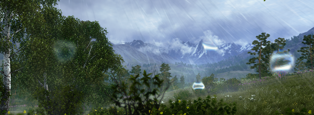
Vue 7 by e-on software released
E-on software has released a new version of their landscape modelling and visualization software vue. According to the offical feature list a number of key methods and technologies have been improved significantly. Amongst the features are ecosystem models, volumetric clouds, tree generation, global ilumination, etc.
A look inside their gallery shows some very detailed and realistic scenes, e.g. the Picture of the Day, Wednesday, December 10, 2008.

I have made some tests with an earlier Version in 2004 and I have to say that it was a lot of fun to work with vue. The main problem was to integrate GIS data and to create realisitc plant distributions. I wonder if this has changed by now, because the visual quality which can be achieved is very impressive.