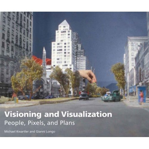
I would like to draw your attention to a new book by Prof. Dr. Elke Mertens about visualization in landscape architecture. The book is very well presented by Birkhäuser, a publisher famous for his excellent books about architecture, and gives a great overview of various visualization techniques in landscape architecture. Please note that the book is available in English and German. The following is a quote from the Amazon description of the English version:
“We don’t sell gardens; we sell images of gardens.” This observation on the part of a landscape architect makes it clear just how important it is that a design be effectively communicated to the community, clients, and the public. Drawings, models, simulations, and films communicate the designers’ proposed ideas and solutions, but they also convey their attitude toward the use of nature and the environment. With myriad possibilities – including computer programs as well as hand drawings and models, which continue to be widely used – and strong competition in the field, there is now a huge variety of visual representations, with agreed-upon rules but also a great deal of freedom. In three large sections, this books sifts through the currently commonplace and available techniques and evaluates them in terms of their informative value and persuasive power, always illustrating its points with analysis of examples from international firms. An introductory look at the development thus far is followed by a systematic presentation of modes of representation in two, three, and four dimensions – in the plane, in space, and in the temporal process. The second section deals with the sequence within the workflow: from the initial sketch through concept and implementation planning all the way to the finished product. The third section deals with the strategic use of visualizations in the context of competitions, future schemes, and large-scale landscape planning. The focus in this section is not on the familiar use of the relevant techniques, but rather on the methods and forms of visual representation in contemporary landscape architecture.”


